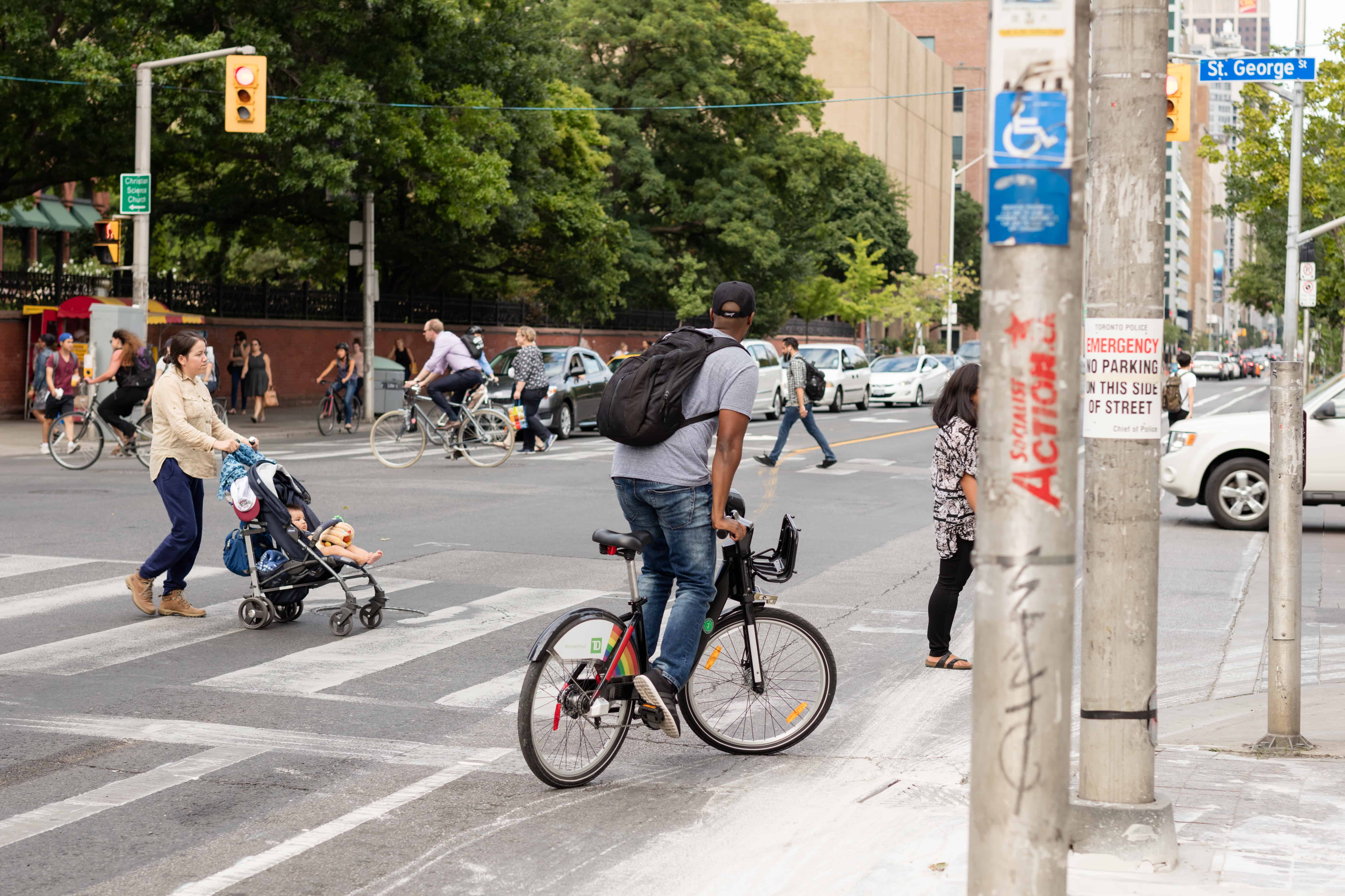
Last August, the City of Toronto implemented the Bloor Bike Lanes Pilot Project, in which bike lanes separated from vehicle traffic by bollards were installed in both directions along Bloor Street between Avenue Road and Shaw Street.
U of T Engineering has partnered with the City and Kitchener-based traffic analytics company Miovision to assess the impact that these bike lanes have on road safety. Toronto City Council will decide later this year whether to make them permanent.
The study comes at a time when the City is in the process of considering and assessing other major thoroughfares for bike lanes, including Yonge Street and Danforth Avenue; both are mentioned in Toronto’s 10-year cycling plan.
“This project is part of a larger initiative that we have that’s run through the University of Toronto Transportation Research Institute that is looking at complete streets more generally, and we see traffic safety — safety for all users — as one element of complete streets,” said Civil Engineering Professor Matthew Roorda, who is also an avid cyclist.
Roorda and his team are studying video data of Bloor Street before and after the bike lanes were installed, searching for incidences of conflict between cyclists and vehicles.
The video data for this assessment was provided by the City and Miovision. Both organizations set up cameras along Bloor before the lanes were installed. Miovision is also currently developing a technology to automatically detect the trajectories of road users — including cyclists, pedestrians, and motor vehicle drivers — to offer a new method of quantitatively analyzing the safety of a street.
Roorda and his team are looking specifically for conflicts or near collisions. Conflicts are said to be correlated with collisions, and they occur far more frequently.
“Whatever mechanisms create a conflict are the same ones that result in collisions if you look at a street long enough. The advantage with looking at conflicts… is that you don’t need to observe the street for as long before you have… enough statistics about the corridor you want to study,” said Nancy Hui, the Civil Engineering MASc candidate who is spearheading the project.
The Miovision technology will automate the process of detecting conflict in video data. Not only does this technique speed up the identification process, but it can be used to draw very specific conclusions about what is going on at the street level. It also allows researchers to measure particularly tricky conflicts in greater detail.
“When you’re dealing with users as small as pedestrians or bicycles as opposed to users that are in a car, it’s a little bit more difficult to see visually and also more difficult to measure,” said Hui.
The team hopes that these techniques will produce the results necessary for City Council to make their decision this year. Staff at the City of Toronto will draw on their findings to make recommendations regarding the bike lane pilot project. Similar research projects have influenced municipal decisions in the past.
Technologies such as the one Miovision is developing can be applied to street safety analysis in the future, which could in turn affect many public infrastructure decisions to come.
Roorda explained, “It’s extremely important that decisions made about these kinds of things are made on good information, and that’s really what [we’re] trying to contribute here, regardless of the results… Regardless of which way the decision goes, we’d rather have it made on solid information.”