Ever gotten lost in the wilds of Toronto, given up on the cardinal directions, and finally pulled up Google Maps?
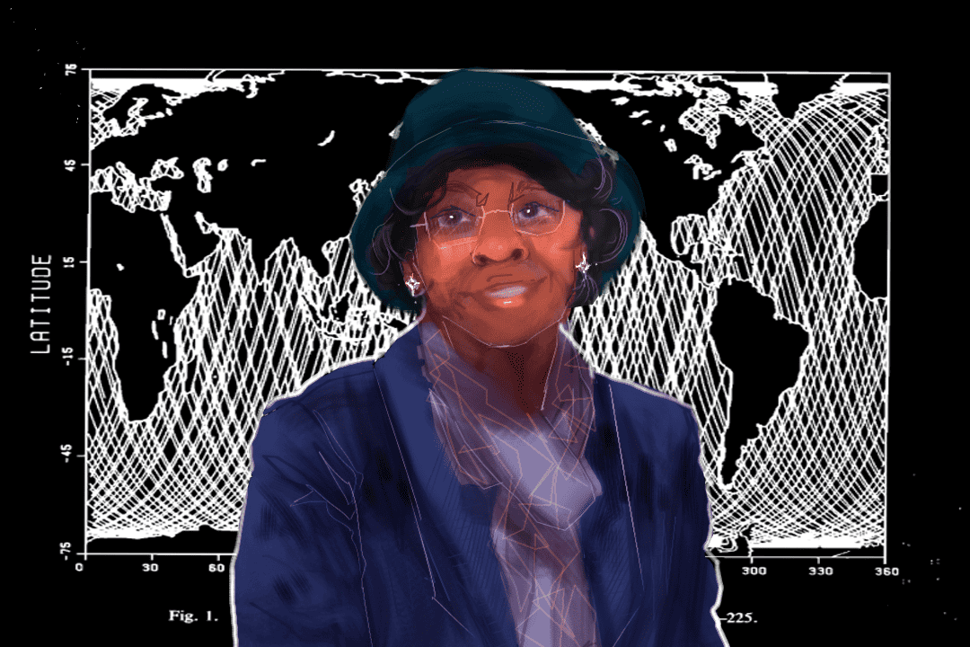
Having the option to follow GPS directions blindly is a result of decades of mathematical computations — and much of the credit should go to icon and mathematician Gladys West.
But first, how does a GPS work exactly?
The basics of GPS
The Global Positioning System (GPS) is an integral part of everyday life, from figuring out the location of obscure campus buildings to mapping and tracking natural disasters. However, in the 1970s and ’80s, the implementation of GPS had two mathematical challenges: time dilation and trilateration.
Time dilation is a phenomenon based on Albert Einstein’s theory of relativity, where time passes differently for different observers based on their motion and the force of gravity they experience. Essentially, the faster the motion of an object, the slower time moves for it. Additionally, the stronger the gravitational force an object experiences, the slower time moves for it.
The high speeds of GPS satellites result in time being delayed by seven microseconds per 24 hours for the satellites. However, the satellite is also far away from the surface of the Earth, which lowers the gravitational force it experiences, resulting in time ticking faster by around 45 microseconds per 24 hours.
Overall, time is sped up by around 38 microseconds per 24 hours for GPS satellites. While this may not seem like a lot, such a small time dilation can cause errors in calculation that lead to inaccuracies, with locations incorrect by metres and even kilometres. Thus, GPS calculations have to account for this time dilation.
The second challenge of GPS is trilateration. Trilateration is a mathematical technique for accurately determining a receiver’s position, speed, and elevation, using a combination of signals from satellites orbiting the Earth at speeds of around 14,000 kilometres per hour.
A receiver — a common component of the GPS found in all phones today, among other devices — needs at least three satellites to determine its location accurately. A singular satellite only tells the distance between itself and a receiver, which creates a sphere of possible locations where a receiver could be. Another satellite creates another sphere of possible locations. Where these two spheres merge, the location narrows down to a circular area of intersection points. A third satellite narrows the intersection to two points, providing a very accurate account of receiver location, but does not necessarily provide details of elevation. Our modern system adds a fourth satellite to the mix to add data about receiver elevation by determining the final, correct point of intersection between all four satellites.
Currently, there are around 30 satellites that provide GPS data. However, a major obstacle in determining the accurate distance measurements that GPS is based on is the actual shape of the Earth. This is where the key contributions of Gladys West come into play.
The shape of the Earth
Contrary to typical models of the Earth, it isn’t a true sphere. The centrifugal force, or the force the Earth’s rotation exerts on it, causes the Earth to flatten at the poles and bulge at the equator, resulting in an ellipsoid or a slightly squashed sphere. However, the Earth isn’t even a perfect ellipsoid. It has a complex topography resulting from the vast oceans, mountains, valleys, and other geographical features that affect elevation.
Because of this deformed ellipsoid shape, it’s difficult to tell how far a satellite is from a specific place on the Earth’s surface. The surface even changes daily due to fluctuations in the ocean levels due to tides. These factors make it difficult to model the shape of the Earth.
Gladys West, a Black woman mathematician, was up for the challenge. Throughout the 1970s and 1980s, she developed a program that mathematically modelled the complex shape of the Earth accurately as an ellipsoid with differing surface elevations, called the geoid. West wrote the guide to getting precise measurements of a satellite’s position relative to Earth. Because GPS is based on these precise measurements, it would be impossible to have accurate GPS systems without West’s contributions.
In 2018, West was inducted into the Air Force Space and Missile Pioneers Hall of Fame for her contributions to the development of GPS. While she was recognized for her part in the development of GPS, it is disappointing that this recognition came so long after the induction of three other inventors of the GPS in 2004. Despite the delayed acknowledgment of her achievements, West stands as an inspiration for racialized women pursuing careers in physics.
So, the next time you rely on GPS for directions, remember the extraordinary mathematical career of Gladys West, the icon behind the navigation technology we often take for granted.