Everyday is a scavenger hunt for map librarians Marcel Fortin and Janina Mueller.
Located on the fifth floor of the intricate Robarts Library’s Map and Data Library area, both untiringly assist and answer library-goers’ map-related questions.

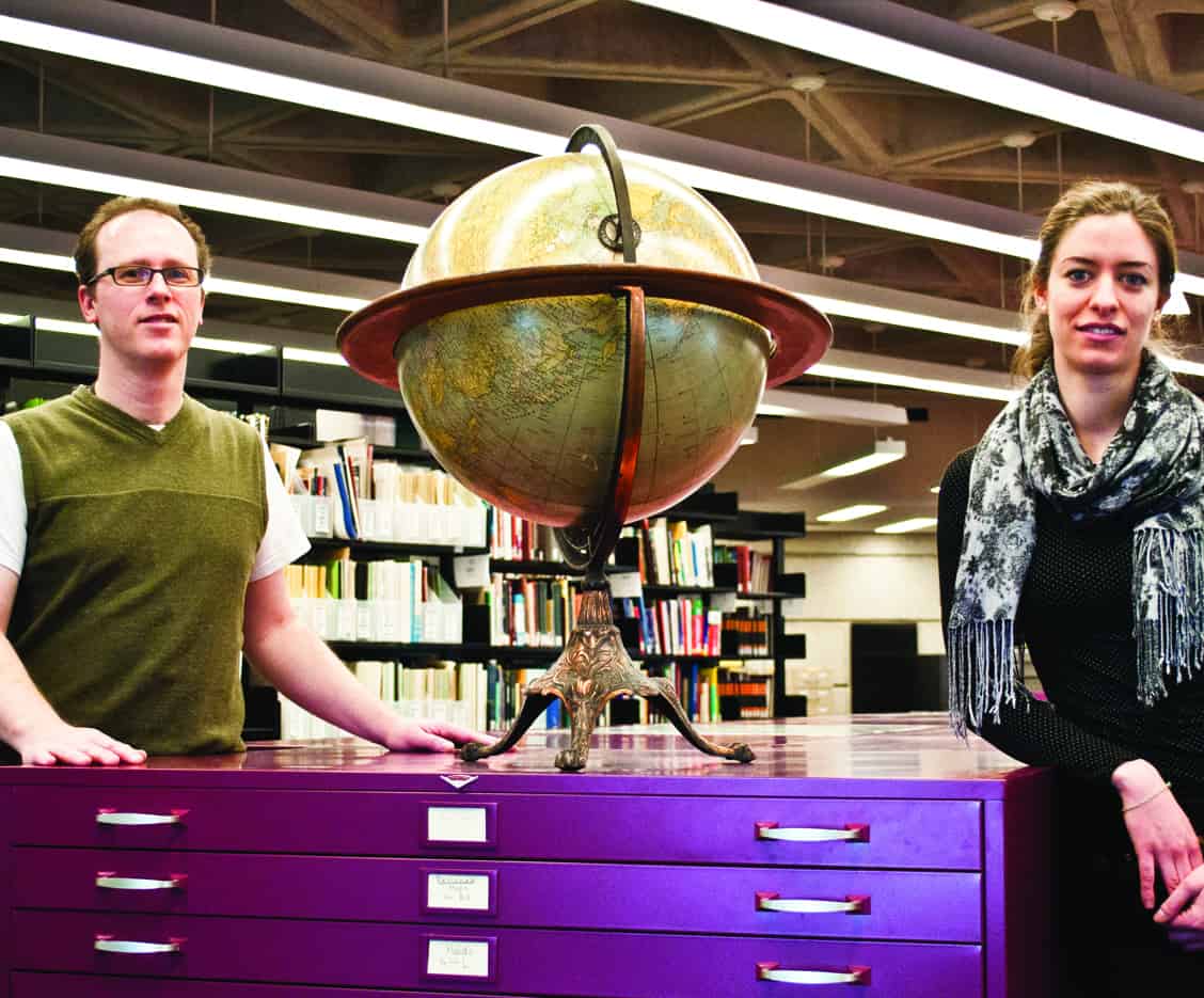
Fortin and Mueller help visitors navigate Canada’s largest cartographic collection. SARAH TAGUIAM/THe VARSITY
“We basically help people use data and maps for analysis, as well as make sure that all of the information is categorized and maintained,” says Fortin, Geographic Information Systems (GIS) and map librarian.
On top of answering questions and retrieving information for students, both also work on storing that information.
“We have the biggest catalogued collection of cartographic material in Canada, and all of this data we make available online,” says Fortin. “We are an academic unit as much as we are an IT unit.”
The Map and Data Library has up to five terabytes of space available of which they currently use more than half.
“It’s great working here because no one day is typical and you never get asked the same question twice,” exclaims Mueller original cataloguer and reference specialist. “As soon as you grasp one subject area, a student that is specializing in a completely different field asks something else.”
Every day, Fortin and Mueller deal with a wide range of students, from undergrads to PhD candidates.
“You’d be surprised to know that we actually don’t get very many geography students coming in asking questions,” Fortin shares. “We get students from all sorts of programs like medicine, health, or physics.”
Once they had a religion major come in asking about the location of an ancient church.
[pullquote]It’s great working here because no one day is typical and you never get asked the same question twice. As soon as you grasp one subject area, a student that is specializing in a completely different field asks something else.[/pullquote]
Amongst their regular visitors are authors and employees from media organizations. Fortin recalls helping the CBC locate historical maps and scans of the 401 for a documentary they did on the highway.
Mueller explains that it’s essential for people to have access to these maps in the future for all kinds of research opportunities. It’s important to maintain a bridge of time between the present and the past, she says.
To emphasize her point, Mueller proudly shows an original copy of a world map used by the Allies in World War II. A small message on the top reads: “for office use only of the British war offices, 1944.”
Visitors can get their help through email or by going to the library in person.
Fortin says that visitors usually begin questions with, “We’re sorry to bother you,” but he readily replies with, “No, go ahead and bother us!”
They add that everyone in the map library accepts all forms of discussion with open arms and great enthusiasm.
“There’s no need to be intimidated by all of this data; we love working with people and helping out with general or specific questions,” says Fortin.
Mueller agrees, saying that people should treat their part of the library like a “scavenger hunt.”
“They are free to open drawers full of maps and take out the ones they need,” says Mueller.
To effectively answer visitors’ questions, the librarians employ the help of the GIS program to assemble, store, manipulate, analyze, and display geographically referenced information.
Fortin candidly adds that GIS has been around since the ‘60s and is the basis of Google Maps.